NetMap Pilot Project
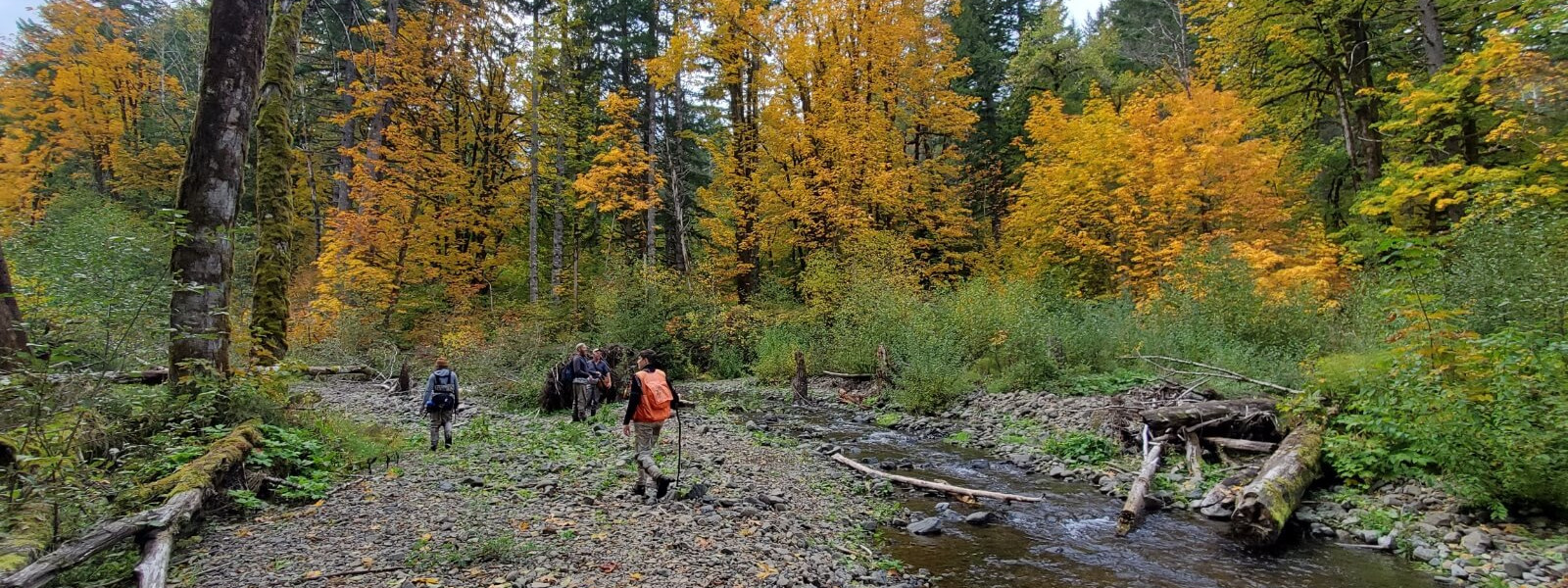
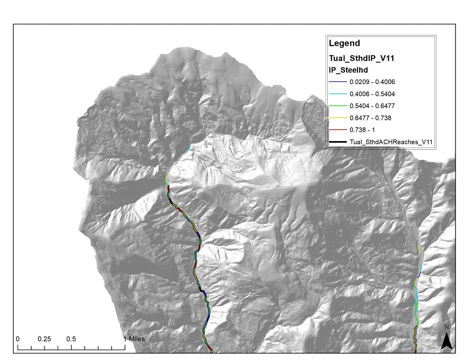
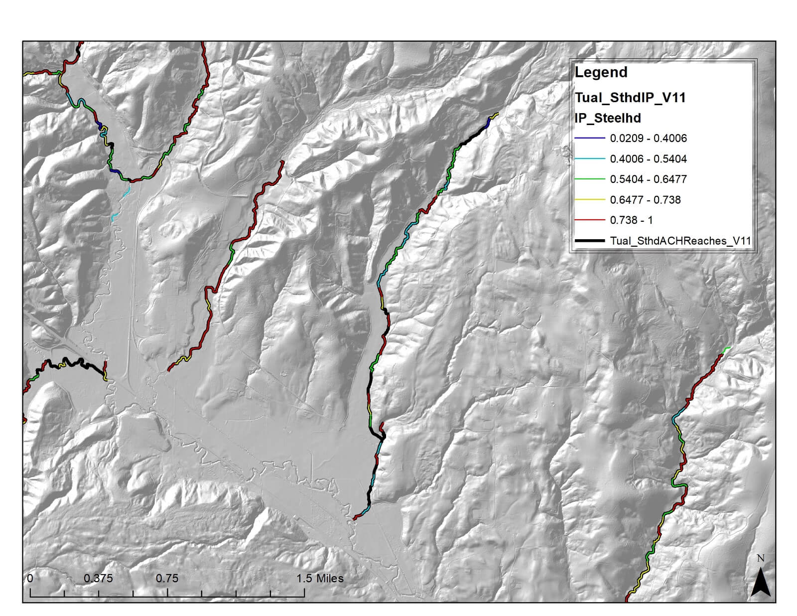
The NetMap Pilot Project is a collaborative effort between the Tualatin River Watershed Council (TRWC) and the Tualatin Soil and Water Conservation District (TSWCD). The NetMap tools will be used to create an analysis for steelhead Intrinsic Potential (IP) and anchor habitat. That analysis will inform future restoration opportunities for floodplain reconnection and anchor habitat protection.
In 2020, TRWC and Tualatin SWCD contracted with TerrainWorks to build a virtual watershed called NetMap. The NetMap tools are comprised of DEM lidar, a synthetic river network, and a number of external inputs which have the capability to run various analyses across the entire watershed to better inform restoration projects.
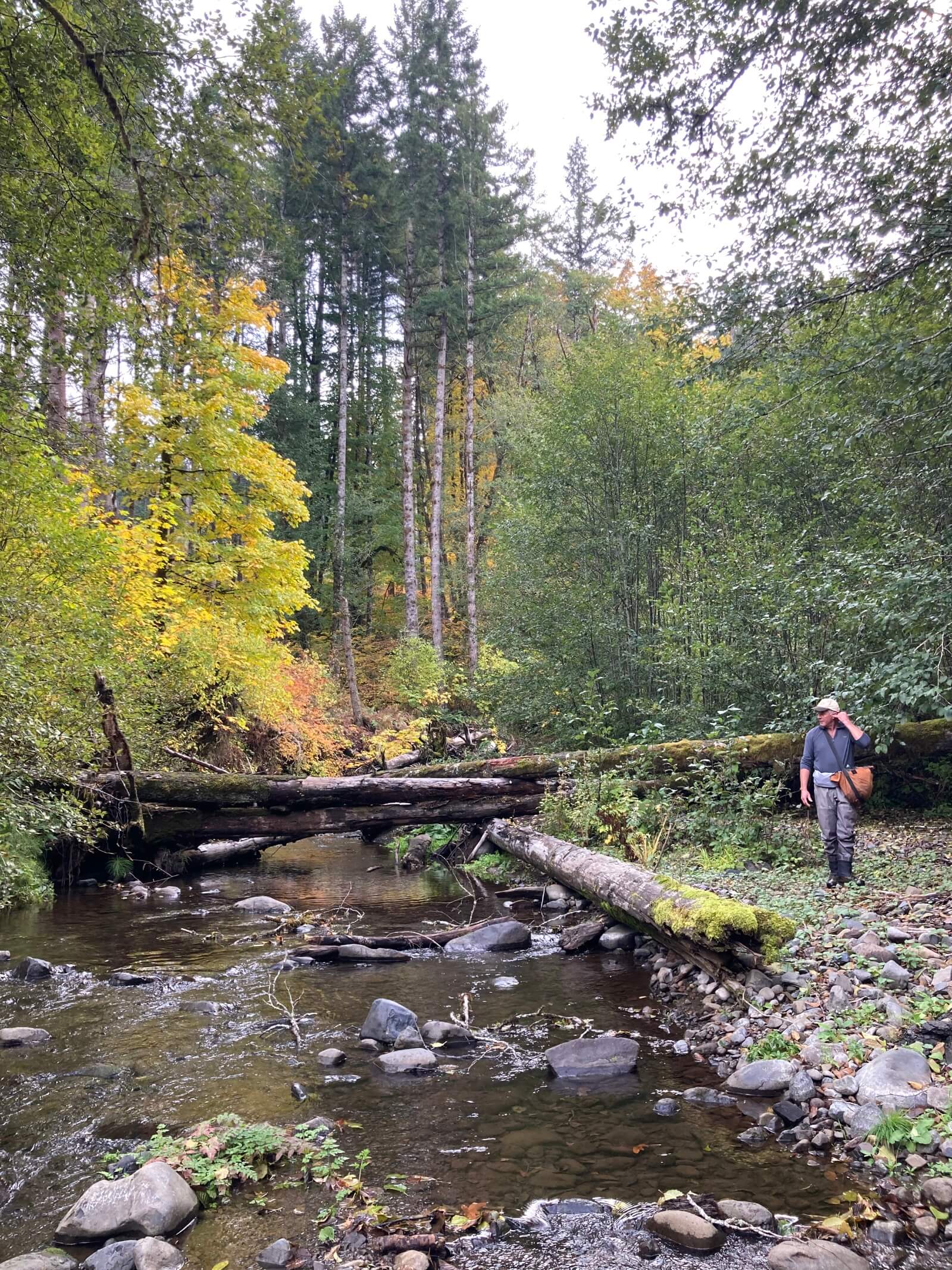
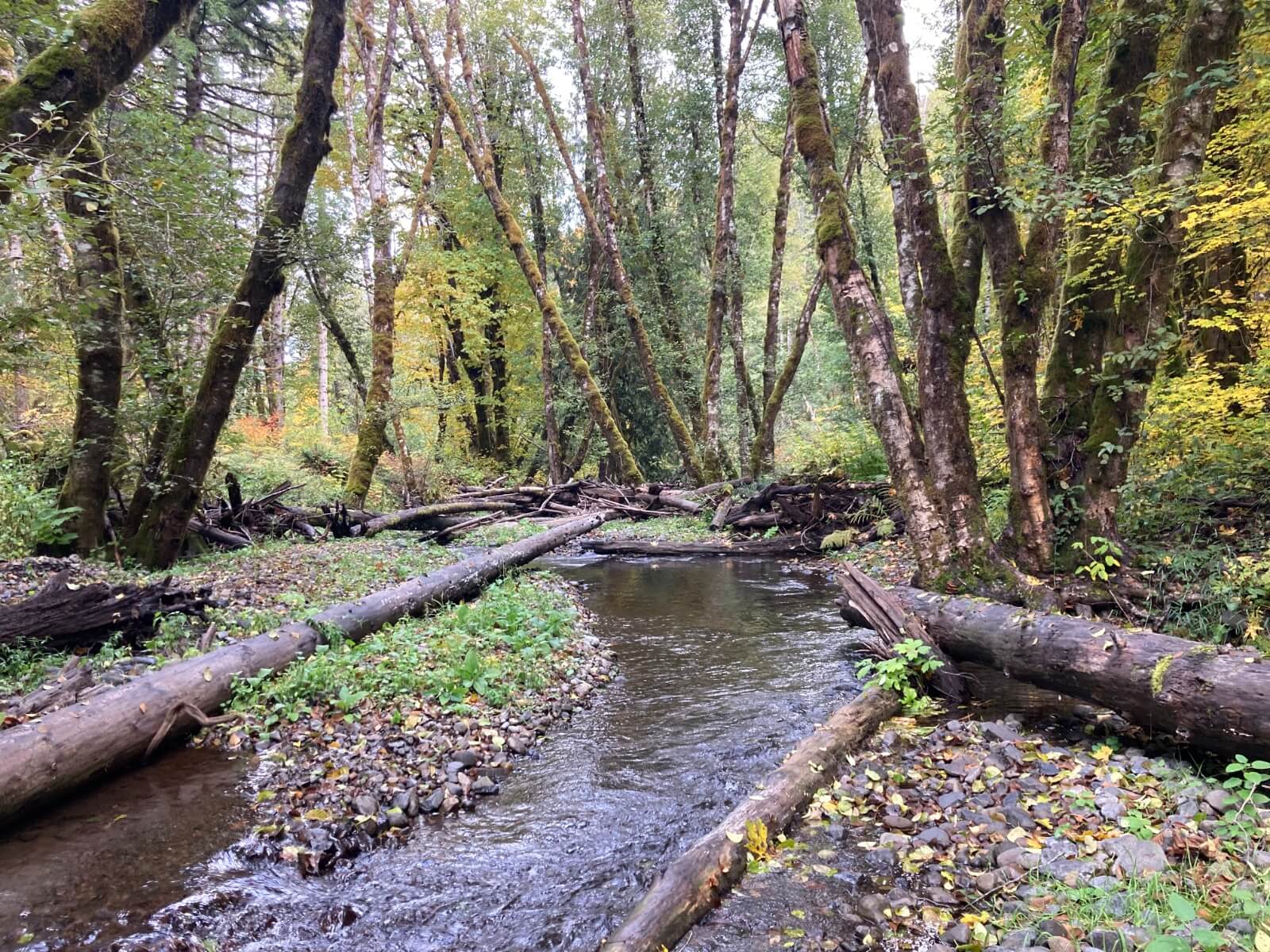
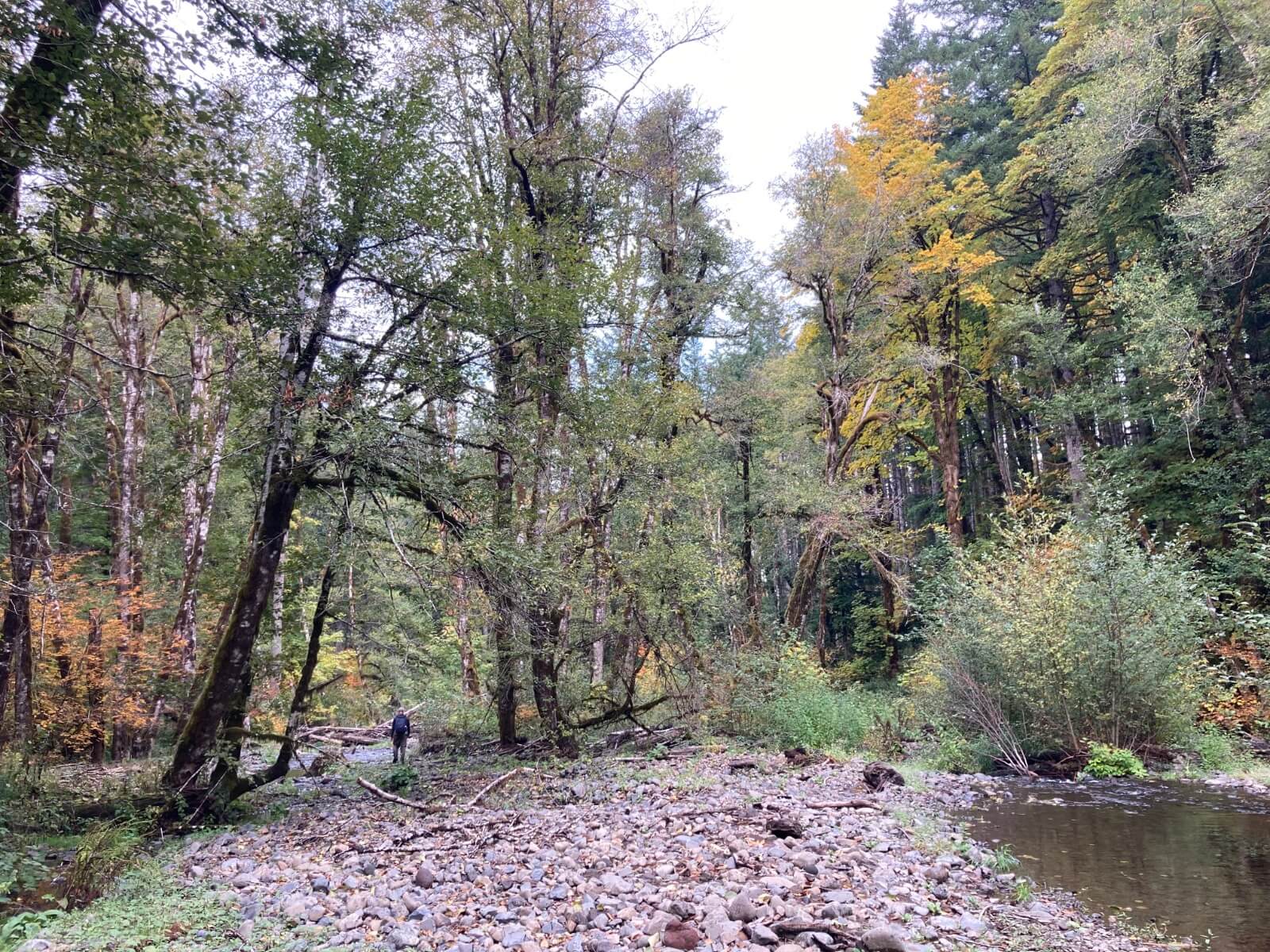
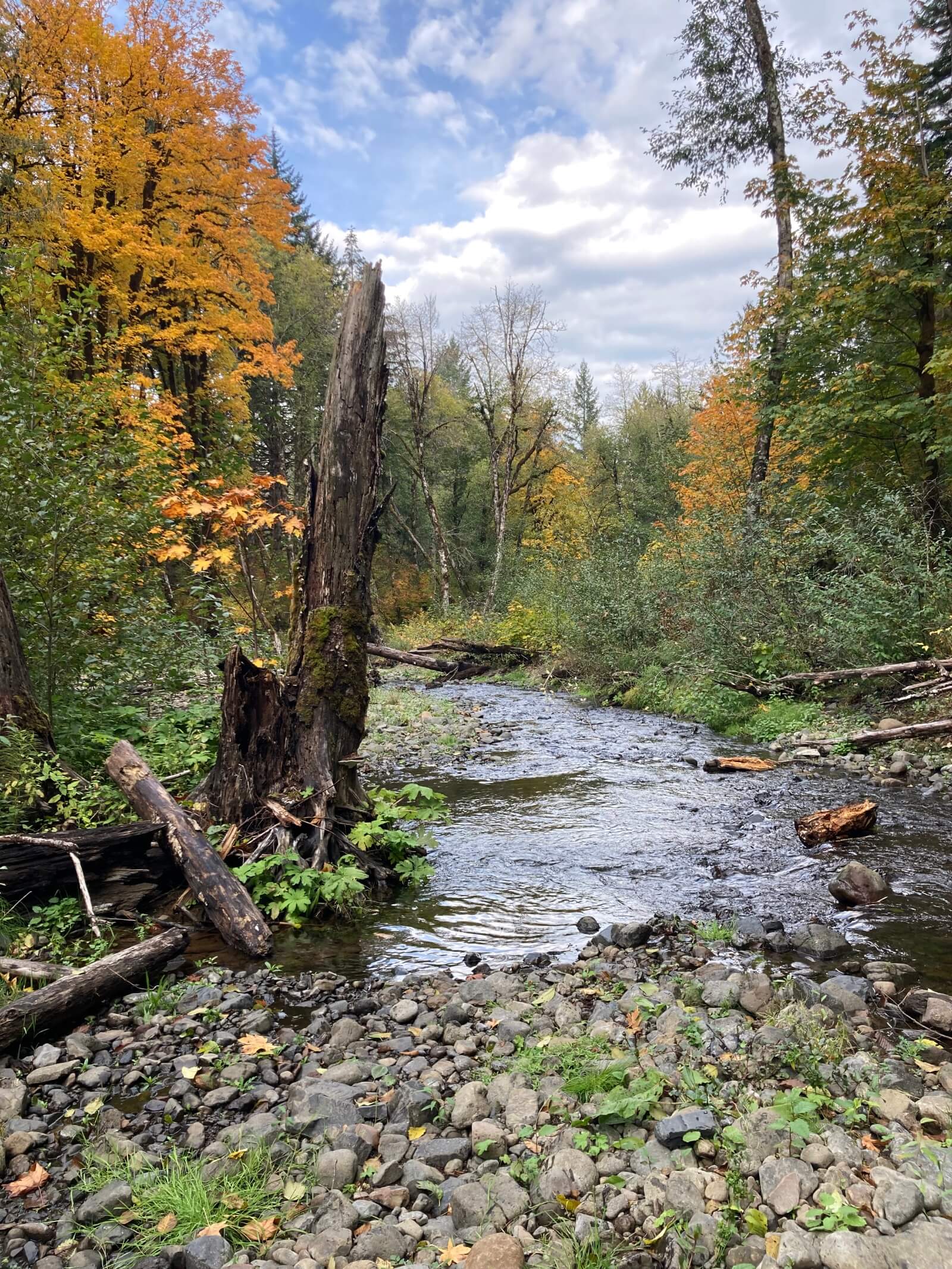
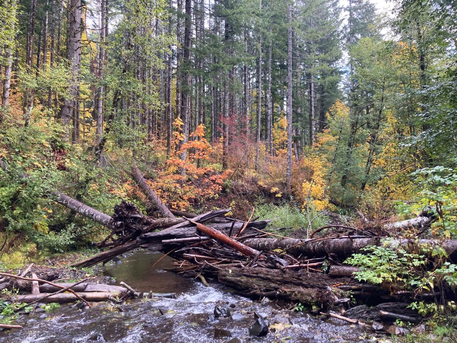
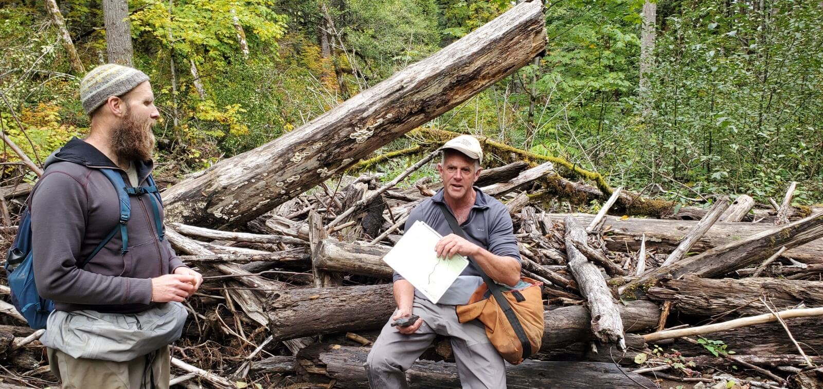
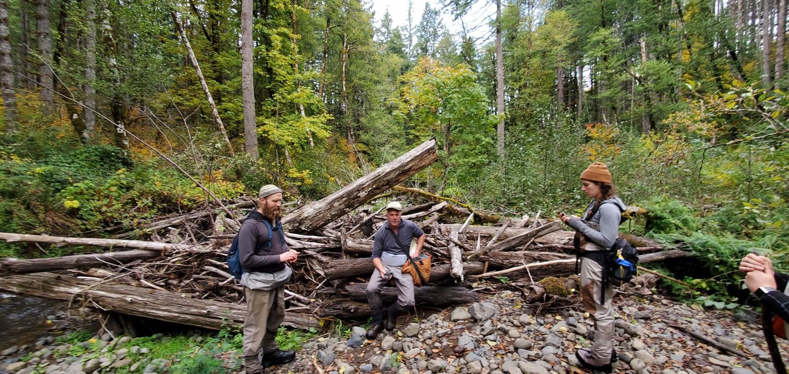
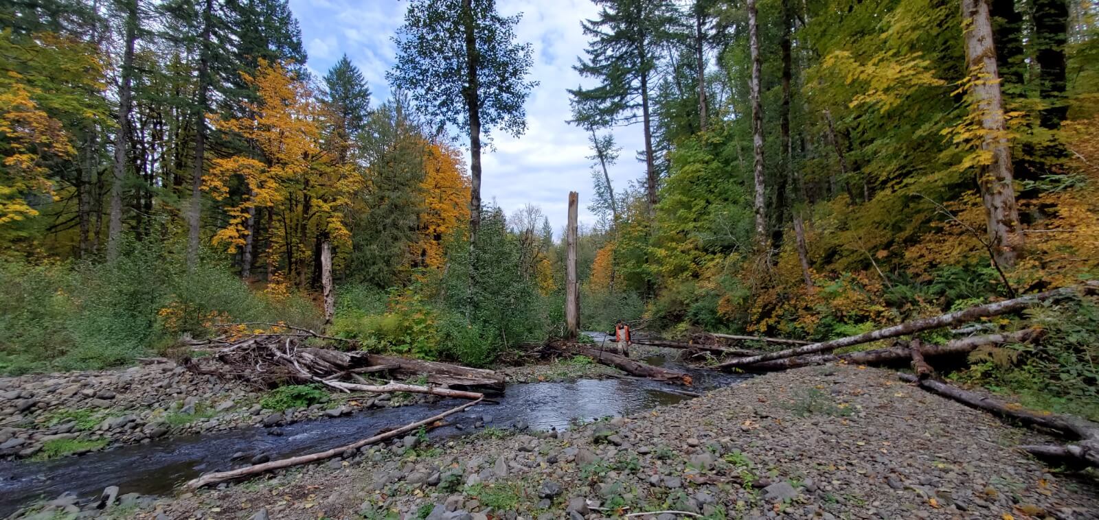
Our current pilot project will identify key anchor habitats for steelhead which we will field truth for project opportunities. Other project types NetMap has the potential to inform include riparian shade potential, gravel recruitment, floodplain reconnection, large wood recruitment, and on and on.
If you have specific questions about the NetMap tools and capability, please contact Scott McEwen at 503-701-5604.